Villa Caro, Norte de Santander, Colombia
Suggest Place to Visit
797
Track to location with GPS |
 |
When the Spaniards, located in Nueva Pamplona, were looking for an easy and short path that would lead them to the sea via the Magdalena River, they founded towns and outposts along this long route. Among the former are Ocaña and Salazar and among the latter the current Villacaro, then anonymous. Its cornered situation in these unexplored and jungle lands, and the shortage of inhabitants, impeded its progress for many years.
As for the tribes that inhabited these regions, some vestiges of them were found in the vicinity of the municipal seat, in the Paramo de Ibáñez and in the fraction of the Mill in a gigantic rocky crag where you can see the faces of what when it perished it was an indigenous cemetery. The squatting position of those corpses makes it appear that they belonged to the Motilones, since this was their custom.
Other facts that deserve to be highlighted in its historical evolution is that the current municipality of Bucarasica was a district of San Pedro until 1907, then it was reintegrated again in 1913; In 1936, due to certain political issues, Villacaro became a district and the municipal seat was given to Bucarasica until 1948, when he again recovered the category of municipality, being named as the first mayor Dr. Lucio Pabón Núñez, his most illustrious son.
The town bore the name of San Pedro until 1932, when by order of the Assembly and in memory of one of the most illustrious men in the province of Ocaña, Don José Eusebio Caro, it was given the name of Villacaro.
Full Name: Villacaro
Foundation: July 26, 1859
Founders: Gregorio Silva, Juan Moncada, and Fernando Rodríguez.
Population: DANE 2005 Census: 5,044 inhabitants
Altitude: 1,600 meters above sea level.
Extension: 402 Km2
Climate: Average 20º C.
Distance to Cúcuta: 191 Km
Geographic coordinates: Longitude west of Greenwich 72º 59´, North latitude 7º 55´
Limits: North: Ábrego and Bucarasica
South: Cáchira and Salazar
East: Lourdes and Gramalote
West: Abrego
Region: central
Rivers: Sardinata and Tarra, in addition to numerous streams such as El Roble and Agua Blanca that supply the municipal aqueduct.
Economy:
Agriculture: Big Onion, Coffee, Panelera Cane, Banana
Livestock: Cattle, Pigs and Sheep
Holidays:
July 29 festivities
Colrosarinas Festivities
Christmas Novena
Easter
Tourist sites:
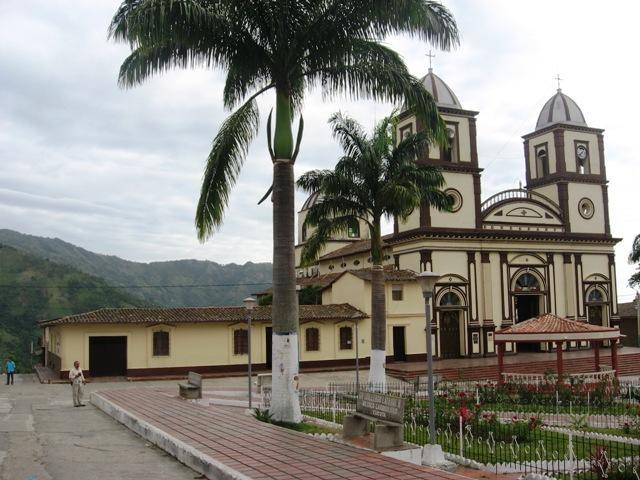
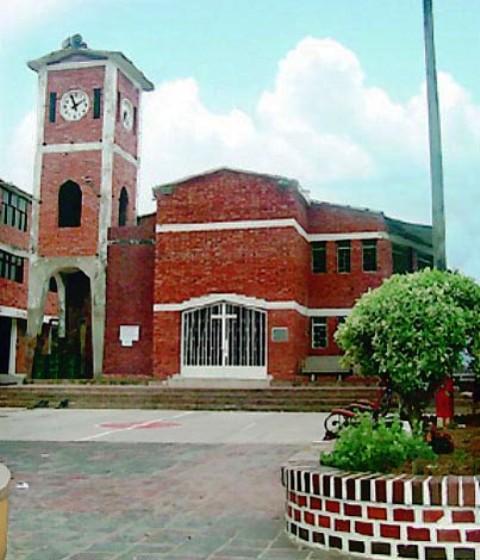
San Pedro Church
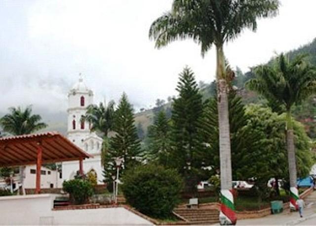
Principal Park
Monument to Christ the King
Monument to the Virgin of Lourdes
Bullring ´´San Isidro´´
Comments
We don´t have yet any comments about:
Villacaro
Villacaro
Be the first to leave a comment as it is very important to inform other people
Outros locais a visitar
Within a radius of 20 km from:Villacaro
Ville de Lourdes |
| 15,9 Km |
 |
Bucarasica |
| 18,0 Km |
 |
Hotel reservation near Villacaro within a radius of 20 km
No results
Why to book with ROUTES TOURISTIQUES
The best prices
Our partnerships with the world´s largest operators offer research on the best market prices.
More options
At Rotas Turisticos you can book the hotel, buy the air ticket, book the transfer from the airport to the hotel and vice versa, book the local excursions, rent the car, take travel insurance and consult the places to visit and where to go.
Holiday Tips & Destinations
Hundreds of holiday destinations with all the options that allow you to easily choose the destination that best suits your dream vacation.
ROUTES TOURISTIQUES
Links


